Thing 12- Interactives
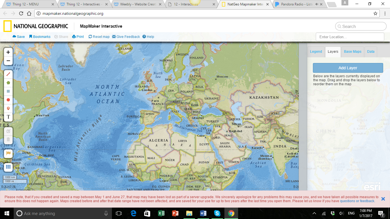
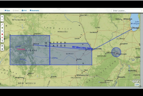
In this module, I learned about several different activities that are very interactive and engaging for students to use in school. The first type of interactive that I learned about was Mapping and Timeline interactive tools. National Geographic MapMaker is a great tool that can help students begin to explore, read, and understand maps as well as map making. You can look at drawn maps or satellite maps and zoom anywhere in the world all the way to the street level. Students can interact with the maps and view images of real places. They can draw, highlight, write, create pins, and much more. The MapMaker website also has resources that teach children about reading maps and following legends. I think this would be a great resource for teaching about earth science and we could use the maps to view islands, volcanoes, and other natural land forms. This tool would also be great for learning about historic events and being able to label where certain events had occurred and notice patters, or other elements about their location. Below is a screenshot of the whole website, as well as a map that I was able to draw on and interact with.
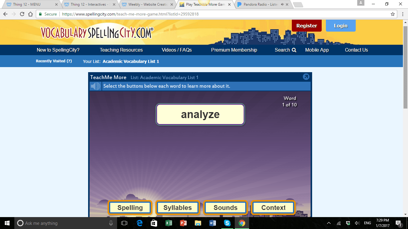
The next interactive resource that I explored was an example of a study/practice web site that students can use to study. I explored a website called Vocabulary Spelling City and it was a great resource that students can use to study spelling words, learn vocabulary definitions and create study reviews and pop quizzes for themselves. The site also include pre-made flashcards that students can review and study. I will definitely use this in my classroom and recommend it to parents and families when studying with their students. Another reason I really like this website is because it does a great job building and reinforcing good study habits for students of all ages.